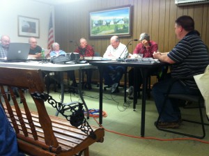
Officials from the Southeastern Regional Planning and Economic Development District met with the Planning Board on Wednesday to present an interactive map showing the results of regional land use research that they have done in Rochester and 27 other surrounding towns.
SRPEDD initially performed land use surveys in each of those towns in 2008 in conjunction with the announcement of the still yet-to-be-approved South Coast Rail Project, and these recent results are based off those initial findings yet include up to date information.
Grant King and Bill Napolitano of SRPEDD were both adamant in promoting the importance of the research, which specifies land use in towns potentially affected by the rails. Their presentation included the interactive map of Rochester, with specified areas highlighted according to their current and potential uses. The map will be accessible to elected officials of the town, and could be instrumental for future town planning as well as for neighboring towns to plan with each other.
“If we give you the best information available, and it can help the development of the community,” Napolitano said. “It will really help the towns work together in the future. You know what resources are there, what areas to protect. It really gives you a good read on the carrying capacity of the area.”
The SRPEDD research plans also act as sort of a middleman between the towns and the state. With potential grants available to the municipalities, the maps can help make them more appealing when they apply.
Part of the main focus of the plans are to show priority development and protection areas within the region.
The GIS show ”target natural resources to protect, and target areas to develop,” King said. “It’s a good tool for you and your professional staff, and we’re always here to help you with it.”
Planning Board Chairman Arnold Johnson recommended that each member of the Board take a look at the map to identify any potential problems or changes that the town feels it should make. King asked that each member do so by June 1 so they can continue with the next phases of their research.
“The end result, when we’re all said and done, is that we agree with these designations, but we’ll have this forever,” Johnson said. “That will influence our zoning and planning board development.”
By Nick Walecka
