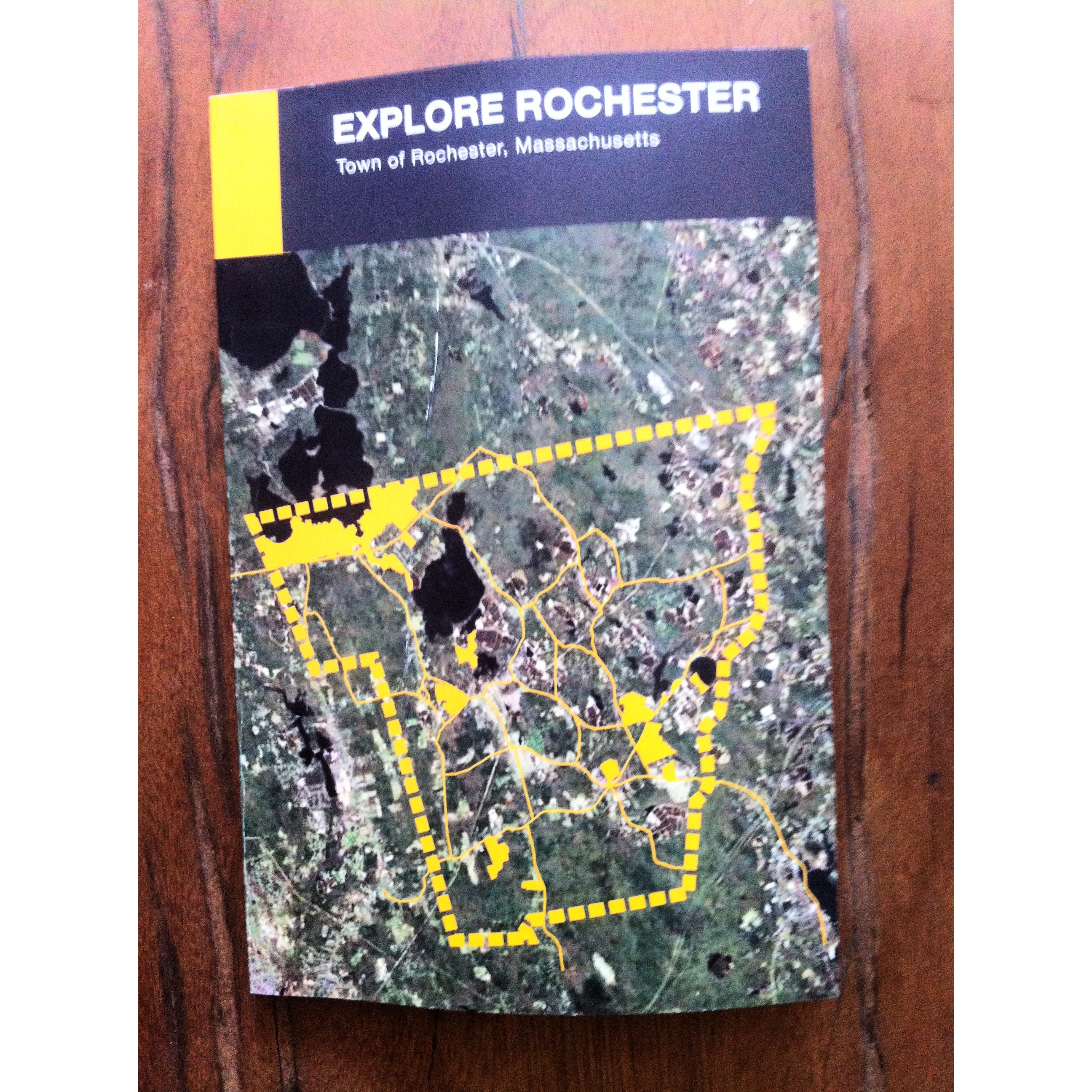
“Explore Rochester” is a new, free public trail guide just recently released that gives detailed descriptions, maps, pictures, locations, and uses of 12 different protected and accessible properties within the town.
The guide, which is a must-have for the adventurous and explorer types, as well as the casual nature lover, was published through a collaboration of the Rochester Land Trust, the Open Space Action Committee and the Rochester Conservation Commission, with help from a grant from the Norcross Wildlife Foundation. The 52-page brochure breaks down each specific site based on the knowledge of a number of different area experts.
“One of the reasons that I think this trail booklet is so valuable is we were able to include a lot of information about the history of Rochester’s land and people,” said Laurene Gerrior, the primary author of the guide and Chairman of the Open Space Action Committee, in a press release from the three groups. “Local residents provided snippets of historical information and photos that make the land come alive.”
Printed at Old Colony, there are currently about 200 copies of the guide available by request at the Town Hall Annex or at the Rochester Land Trust’s booth at the upcoming Rochester Country Fair next weekend. Laurell Farinon, the Conservation Agent for the town, said there would be a PDF version of the guide to be made available online in the near future at www.townofrochestermass.com and at www.rochesterlandtrust.org.
Part of the goal of the guide is to provide people with more knowledge on these particular sites, which will allow them to explore and enjoy them even more than they may already. It also hopes to attract new visitors to the town’s vast and expansive protected areas.
“We hope that people reading the guide will be inspired to visit a few of these properties and feel a greater connection to these lands,” said Halima Tiffany, the President of the Rochester Land Trust. Tiffany added that the brochure would not have seen the light of day had it not been for the grant provided by Norcross.
The guide also provides specific information on each site, noting which ones are conducive to fishing, hunting, hiking, bird watching, cross-country skiing, etc.
Ginette Castro and Michael Oleksak of cosestudi in Rochester provided the layout and design of the guide, and Gerrior, Farinon, and Rosemary Smith, Chairman of the Conservation Commission, provided the trail guide narrative. Sarah Williams of the Buzzard’s Bay National Estuarine Program and Farinon did the mapping.
A reprint of the guide will take place in the fall.
By Nick Walecka