Like all good museums, when you enter their interior spaces you are swept into collections and exhibits that transport you to another place or another time, allowing you to explore and imagine in new ways.
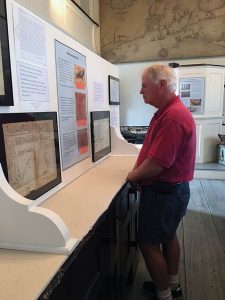
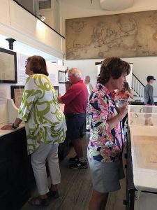
And that is the impact the small, but mighty, Mattapoisett Historical Society Museum has on its visitors with each new season. The 2017 season exhibit, “Mapping Mattapoisett – Tracing Our Place in the World,” opened on July 6. The exhibit of maps with informational plaques will, figuratively speaking, send you around the globe.
Curator Jeffrey Miller wanted to share something new, something that had not been exhibited within the diminutive walls of the museum. “While I was looking around finding materials that had not been shown before, it occurred to me that maps could be arranged in a meaningful way, providing the visitor with an opportunity of viewing maps in a whole new way,” he explained.
Miller said modern day people interact with maps in a whole new manner versus how we had in bygone eras. “The basic elements of mapping are the same, but the maps themselves are different,” he said. Thus, the maps on display allow the visitor access to a time well before computer imaging while demonstrating how map making has evolved over time.
It is a multi-media exhibit, debuting maps that date to the early 1800s juxtapositioned with a laptop displaying Google Earth. While paper maps illustrate places, roads, rivers, property names, boundary lines, even the history of land ownership, they are mono-dimensional tools versus technology such as Google Earth, which is in nearly 3D.
Since the beginning of written languages, mankind has used the visual sense to direct the mind beyond a fixed position. The MHSM exhibit excels at doing just that.
Kathleen Damaskos, the museum’s treasurer said, “Jeff has been very thoughtful in telling the story of each map.” She said the plaques accompanying the maps enhance the visitor’s experience, their understanding of the maps, while asking questions that inspire one to take a deeper look at each item on display.
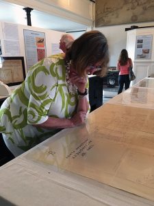
The maps themselves are a mix of old hand-drawn pieces that illustrate boundary lines for property owners, coastlines with navigational elements, and even advertising pieces produced for the mass markets that began to emerge in the early twentieth century.
One map was drawn in 1870 by an Ansel Weeks, who updated it for the next twenty years as property changed hands, while another was printed in the 1920s by Electric Railway and shows the routes of local trains in those days. And still another map takes the viewer far away into a battlefield.
One such map, a field relief map tucked on the outside edge of the exhibit, seems as powerful today as it must have been when it was drawn decades ago. It is an early attempt at dimensional modeling. The map was carried home to Mattapoisett by a returning soldier after World War I. The map depicts Paris and the surrounding area when the Germans were attempting to invade the city.
The exhibit ends in August, but maps and other historical documents and materials are available for viewing by appointment during the off-season.
You can also visit www.mattapoisetthistoricalsociety.org for more information on collections, including accessing the new online collections database. Cataloging and database development was funded in part by grants from the Mattapoisett Community Preservation Committee. Damaskos said the museum is also partially funded by the Mattapoisett Cultural Council, as well as through private donations and memberships.
The MHSM is open during July and August, Wednesdays through Saturdays, from 1:00 to 4:00 pm.
By Marilou Newell