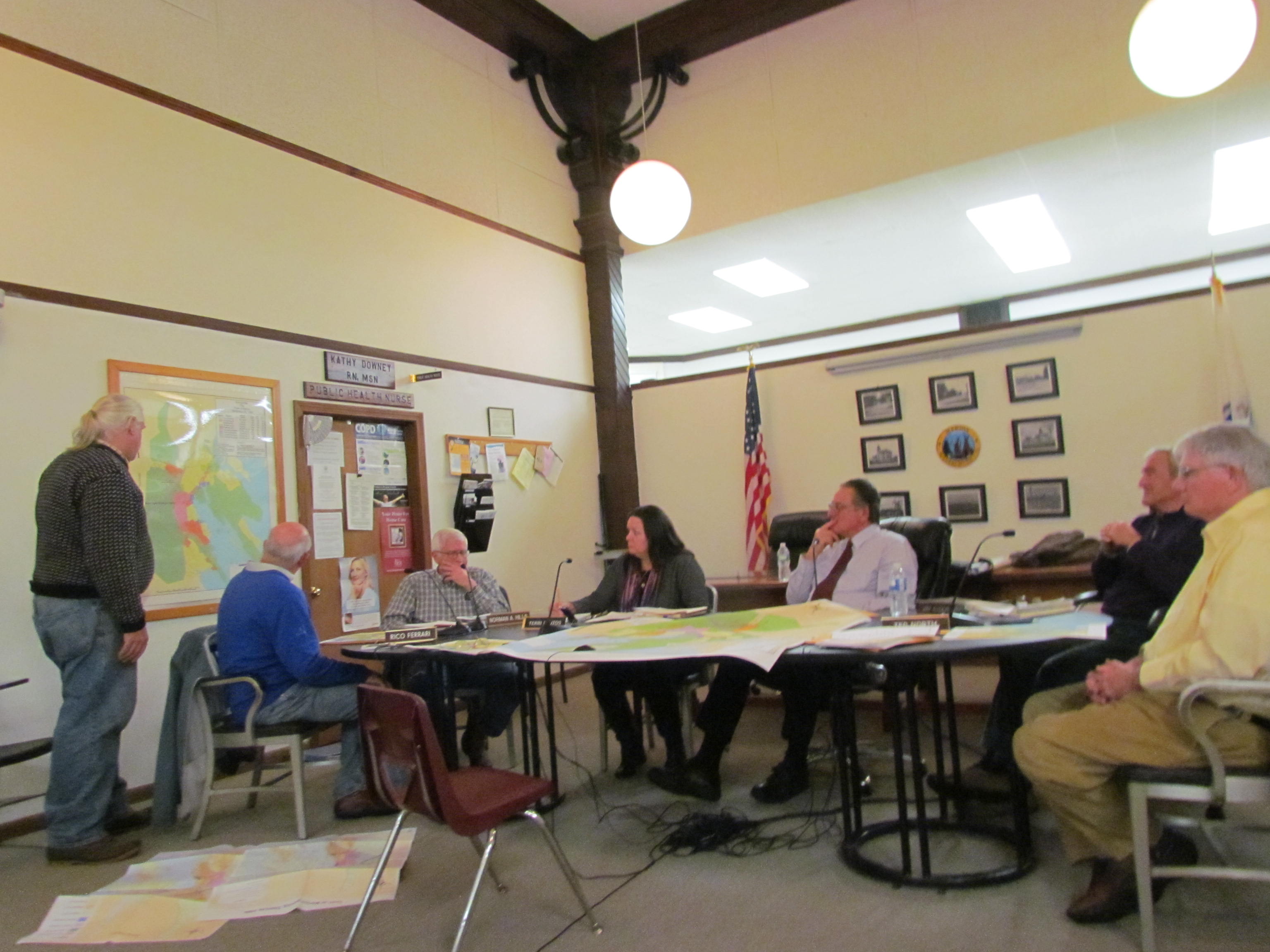
An updated Geographic Information System (GIS) draft of a map of Marion dominated the discussion at Monday’s meeting of the Marion Planning Board. A 1999 version of the town map was shown with updates to bring it up to 2014 standards.
John Rockwell, a Marion resident, came before the board asking for certification from the Planning Board for a proposed map that will be submitted to the Attorney General of Massachusetts for approval.
Rockwell told the board that the current town map needed to be updated and submitted to the Attorney General to reflect the newly-enacted Federal Emergency Management Agency (FEMA) regulations as well as to provide a view of the town’s current zoning by-law overlay.
The town, according to Rockwell, must submit an updated map to the state. “The lot lines [on the new map] reflect the true elevation required by FEMA,” said Rockwell.
Rockwell did his homework and showed the 1999 version of the town map with various updates approved at town meetings through the years. The new map now shows overlays of the Sippican River, the surface water overlay, and current FEMA flood plain districts.
After listening to Rockwell’s presentation and reviewing the facts presented, the board agreed that six changes in zoning had occurred and had been approved at town meetings since 1999, with the last change occurring on October 10, 2013 with the approval of a solar array at the town landfill.
A lively discussion ensued after the presentation by Rockwell, who is a representative for the Buzzards Bay Coalition, the Buzzard’s Bay Estuary Program, and who is also a consultant to the Commonwealth of Massachusetts on wetlands and endangered species.
Mr. Rockwell is a former member of the Marion Planning Board who served for over six years, and he is also an expert in flood plain management and Federal Emergency Management Agency regulations. In 1994, Mr. Rockwell wrote a grant that helped the Buzzards Bay Estuary Program gain a computer program to track wetland and marsh data. “There were no aerial photos back then,” said Rockwell.
“This is a draft, as presented,” said Rockwell, as he gave each member of the Planning Board a copy of the proposed map. “The last zoning map of Marion was in 1999 which showed special uses and revisions from previous years,” said Rockwell.
Board member, Steve Kokkins, standing in for Chairman, Pat McArdle who could not attend, said that it was ‘high time to have a revision’ of the old map of the town.
Rockwell said that the updated map, with overlays, will offer town residents a view of the town that was not previously available to town residents.
“It’s like back in anatomy class where you can overlay the parts of the body … now we can overlay, like a transparency, and flip to see where the Sippican River Overlay is located, where the Surface Water Overlay is, and where the Flood Plan Districts are and much more,” said Rockwell.
Member Jay Ryder asked if the web version was like Google Earth. “Yes, if approved, this version will be, via the Attorney General’s Office, will be available to all on the web,” said Rockwell.
Member Norm Hills asked if the format for the new map will align with the assessors’ new software that was recently approved at the fall town meeting. Mr. Rockwell said that he would consult with the town assessors and coordinate, if possible, on the new map.
A major discussion ensued regarding the updating of the map. Board member Ted North spoke up and said that “We try to know what is the latest updated map, but what is the reference.” North has spent much personal time in researching and presenting his opinions, as a Marion resident, for the town’s future.
The board agreed that input from various boards was needed before they signed the map as the resource for town documentation. Comments from the Department of Public Works, the Building Commissioner, Conservation Commission, Zoning Board of Appeals, as well as the Public Safety sector, will be considered before the board decides on the issue.
In another discussion, the board agreed that a town warrant article, proposing that the town agree to hire a part time town planner, be put on the warrant for the spring town meeting.
In other business, the board approved the fiscal 2014 budget for the committee at approximately $14,400.
By Joan Hartnett-Barry