If at the founding of Rochester in 1686, you showed the early settlers you could view what their town would become from hundreds of feet in the air, they would not believe you. If you were to show them, they might believe you, but they’d likely try you for witchcraft and burn you at the stake. Jokes aside, Rochester would split into the three towns we aptly refer to as the “Tri-Town” in the mid-19th century and with modern technology, it’s fairly easy to get a bird’s-eye view these days.
Starting off in Marion:
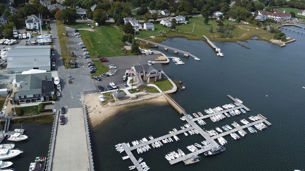
The new Harbormaster building, still fresh and recently officially opened.
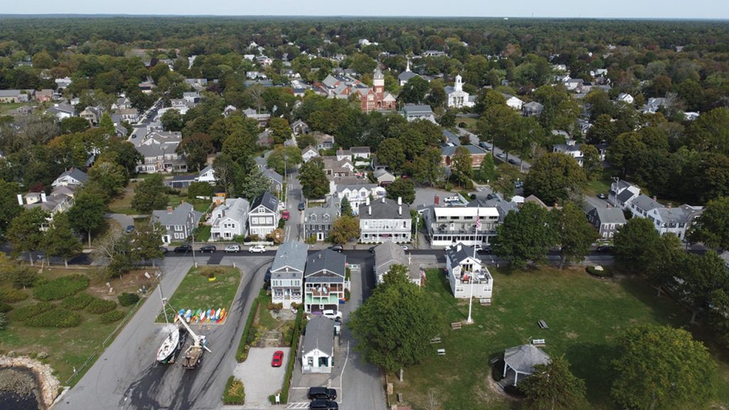
A shot down Main Street. You can see the Town House, currently being renovated, the back of the Elizabeth Taber Library, some of Sippican School, and the harbor in the background with many boats still moored.
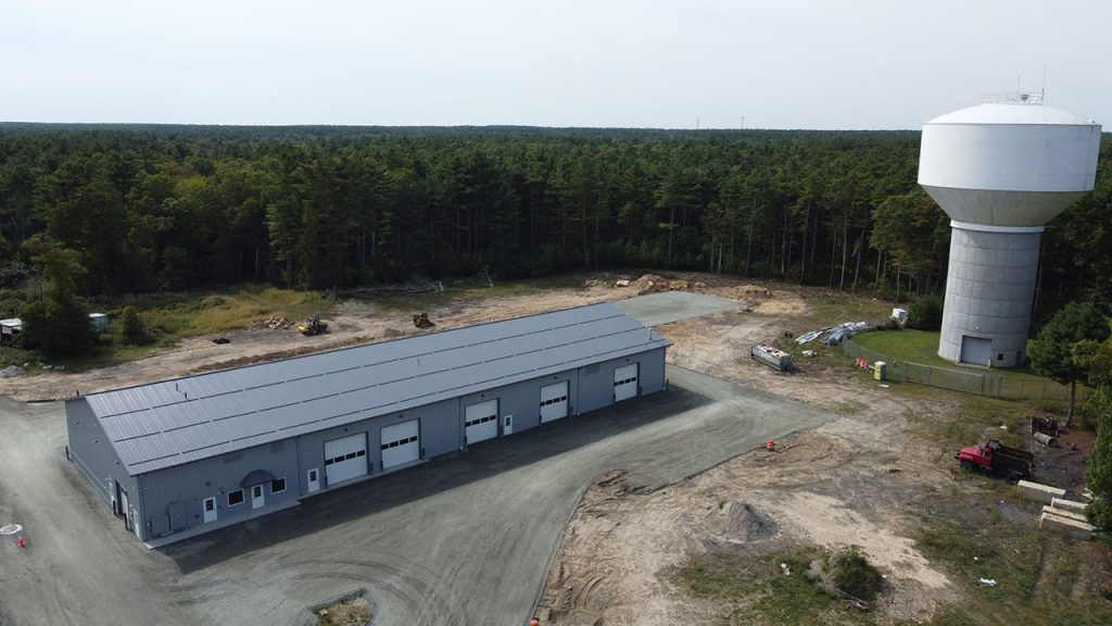
Marion’s new Department of Public Works (DPW) facility is coming along and seems almost complete from the outside. Many felled trees can also be spotted.
Next is Mattapoisett:
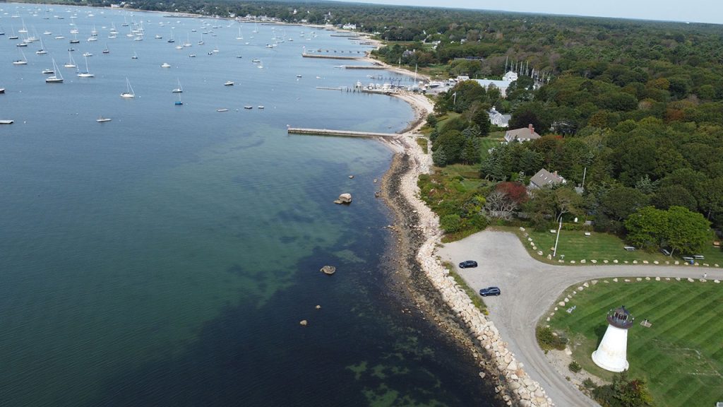
Overlooking the harbor and downtown from above Ned’s Point.
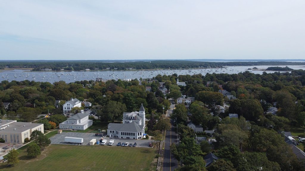
Most of the town center from above Town Wharf. Center School stands out with its clock tower’s height.
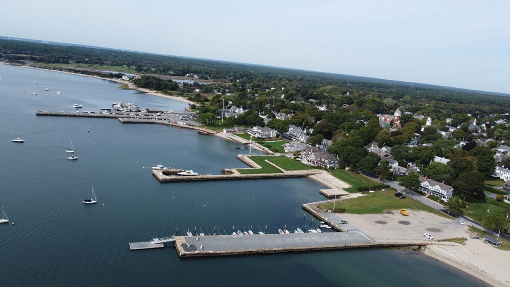
A view from Town Beach overlooking the wharfs and Water Street.
Finally, is Rochester:
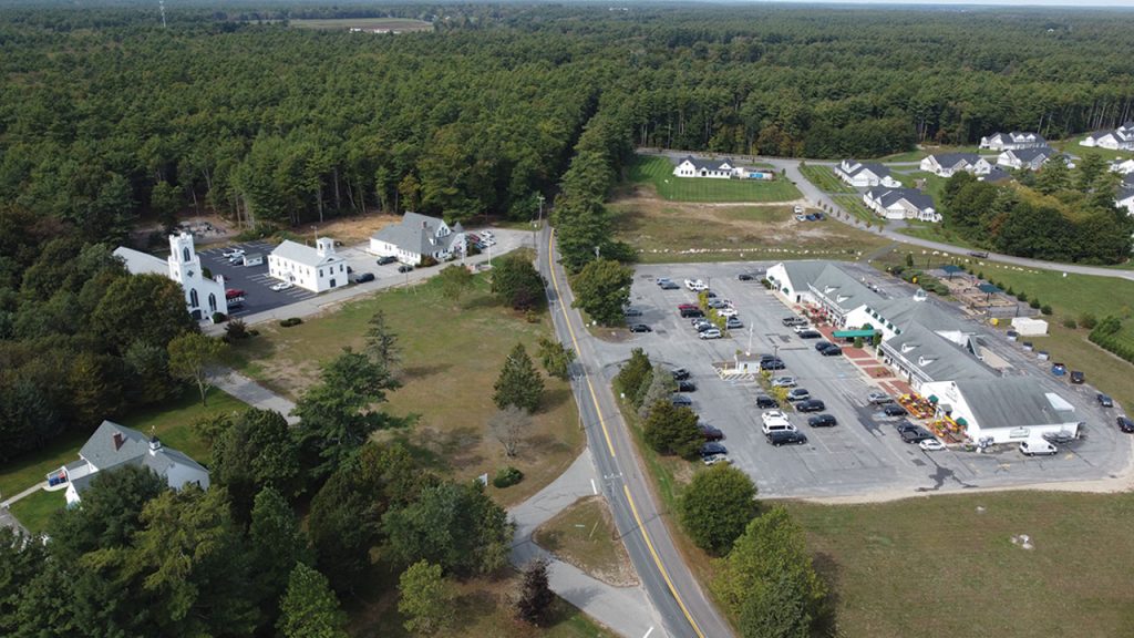
Above Plumb Corner with Friends Market to the right and Town Hall and the First Congressional Church to the left.
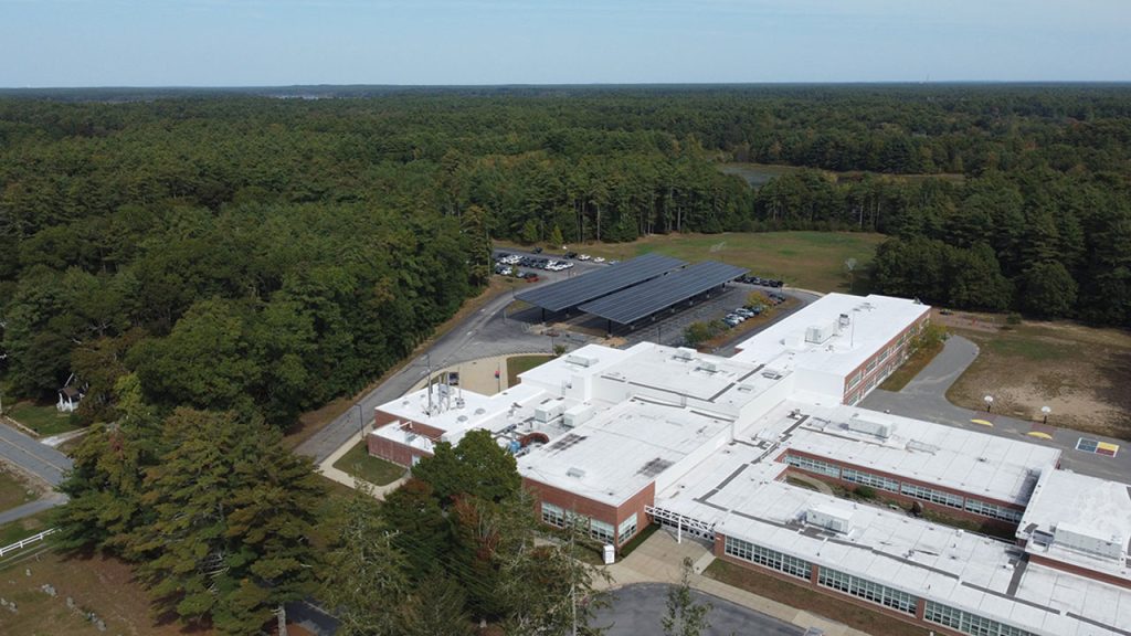
Rochester Memorial School’s nearly completed solar array built atop their rear parking lot.
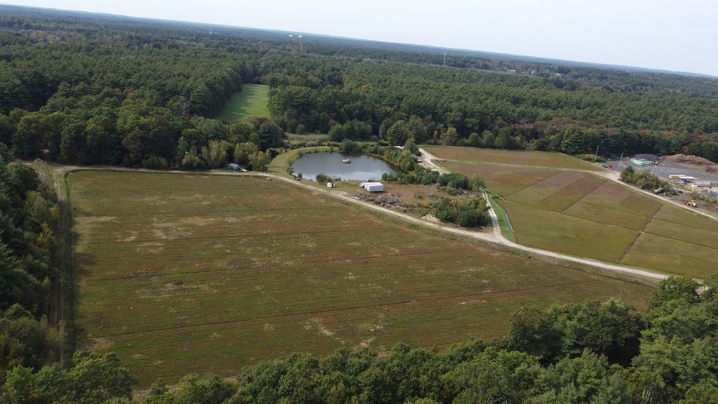
A shot of some of Rochester’s famous cranberry bogs, currently peaking in their harvesting season.
The Tri-Town From Above
By Sam Bishop