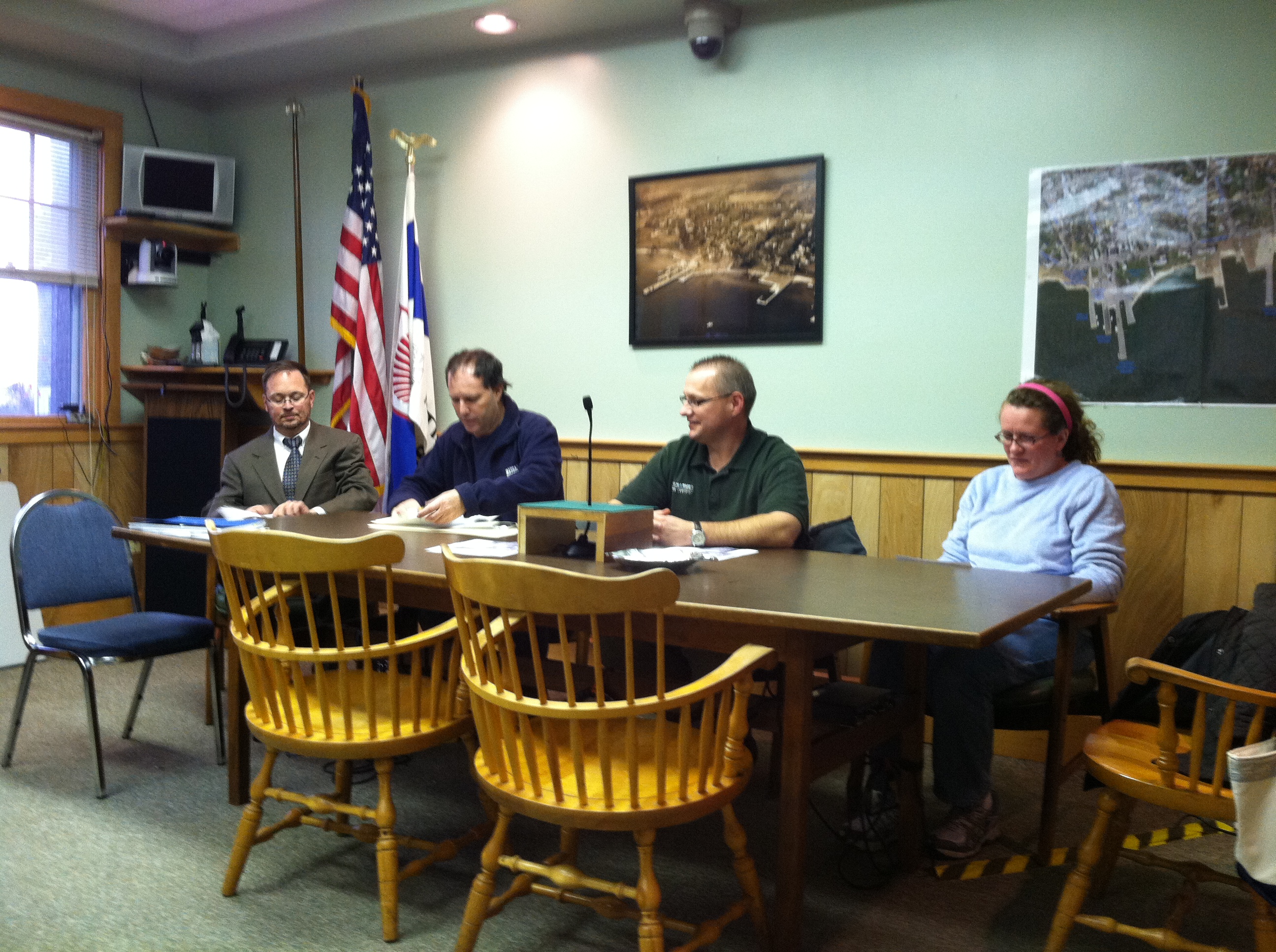
What was to have been a simple clerical function turned into a series of questions and comments when the Mattapoisett Planning Board met on Friday.
The FEMA Flood maps had erroneously shown the majority of homes in Harbor Beach not in a Flood Zone. Such a huge error would have left them vulnerable in the event of property damage from storms, as well as ineligible for flood insurance and federal aid. Two other vacant areas, one located at the intersection of Brant Beach Avenue and Highland Avenue, the other at the intersection of Mattapoisett Neck and Antassawamock Road, also needed to be added back into the proper zone. Before the matter could be brought before the voters during Monday’s Town Meeting, a public hearing was required to take place advising the public of the board’s intent to have the matter corrected. However, several business people and residents had other more profound issues to vet before the board members.
Bill Cantor of 4 Prospect Rd. asked, “By accepting this, are we accepting FEMA flood maps … without challenge?”
Building Inspector Andrew Bobola replied, “This hearing is only for the affected areas noted [referring to a handout which detailed the errors previously detailed at the beginning of the hearing] … if we don’t accept this and there is a storm, we won’t be eligible for FEMA aid.”
Cantor said that he has been hearing that insurance rates for impacted areas are reaching upward of 25%, but Bobola said in the open market flood insurance can be 75% to 500%. He said, “Mortgages holders have to have flood insurance.” He continued, “The thought of opting out, in my opinion as a public servant, I’d never suggest that.”
Sandra Dawson added her voice, armed with information she had just gathered for the hearing.
“People in the real estate industry know about this issue; the average person doesn’t,” she said. She then shared information regarding FEMA mapping that has been so errant, as much as 50 percent, that many towns in Plymouth County are waging a battle with FEMA to correct the problem, most notably Marshfield. But beyond that, the insurance rates that were to have been increased gradually are actually jumping by leaps and bounds. This skyrocketing of insurance rates is making house sales difficult for some sellers and out of reach for many would-be buyers. She cited a two-family property located at the corner of Mechanic and Water Street with an annual insurance pricetag of a whopping $51,000.
Planning Board Chairman Tom Tucker reminded the audience that the matter before them was simply a clerical matter, not an opportunity to change anything at this point in time with FEMA. He told Dawson and others trying to express their concerns that this could be brought up during Town Meeting on Monday, but Dawson felt someone in a public service role might be better suited in bringing these matters forward.
FEMA mapping errors and escalating insurance rates have been reported for the last several months, but the full story has not been completely written yet. To date, Marshfield and Hingham are preparing to fight back. From other news sources the Wicked Local/Hingham Journal: “Marshfield Citizens Coastal Coalition Chairman Joe Rossi said they are now expanding their outreach and educational efforts regionally. He announced that there will be a meeting on Nov. 21 in Marshfield of the Southeast Regional Coastal Coalition, place and time to be announced. The meeting is open to professionals, area residents, and town officials, and will kick off their efforts to rewrite future legislation.”
And from the Wareham Courier, an editorial written by House Speaker Robert A. DeLeo reads in part: “Following the deadly and costly super-storms of Katrina and Sandy of the last decade, Congress felt compelled to reform federal guidelines with respect to flood insurance. Unfortunately, the changes, in the form of the 2012 Biggert-Waters Flood Insurance Reform Act, end the federal subsidies for flood insurance and increase rates sometimes dramatically, perhaps by 25 percent on average. To make matters worse, these alterations are simultaneously taking place as a routine redrawing of flood maps. While the new paradigm is still taking shape, early reports suggest that changes could suspend progress in the housing market, in many localities, and send it reeling back to the dark days of the 2008 real-estate downturn.”
Mike Gagne, Town Administrator, who was in attendance at the hearing, said that he and the Board of Selectmen have been discussing this matter and are also concerned with the long-range implications these issues may have on a seacoast community.
Mattapoisett’s Planning Board moved to accept the FEMA map corrections and urged the public to bring their concerns to Town Meeting.
By Marilou Newell
And I believe residents are also confused about the coastal wind insurance premium that needs to be carried. My insurance company canceled my policy years ago and I am now paying three times as much to Mass. Property. I try to explain to others it is not for flood issues but for wind damage.